
Check out the introductory post for an explanation of this series.
In my past posts, I’ve talked a lot about the statistics of poverty and inequality in Philadelphia and the greater region. But I think it’s also important to understand this inequality as well as we can in real terms. That’s why I want to start putting pictures to the statistics, as a sort of “face to the name” of the statistics. This is a larger project than I thought, and something beyond my skills, but I’m going to give it a try. This will be an ongoing catalogue of pictures or anything else that might help make the statistics feel more real.
This is very much a work in progress, which is why there are so few photos. I want to add more neighborhoods, and more types of pictures from different neighborhoods. In particular, I’m admittedly shy of taking pictures of people. I also feel somewhat uncomfortable going into some neighborhoods with a big clunky camera or an iPhone and photographing people’s homes and lives. It feels invasive of me. But, I think it’s necessary, so I’ll find a way to get over it.
I also feel that there will never be enough photographs, quotes, or whatever form of insight into life in a neighborhood or community. So, it’s best to just get it out there, and to keep adding to it. I’ll be back with more.
Rittenhouse Square
First, I have a couple pictures of a well-to-do neighborhood—the Rittenhouse area just southwest of Center City.
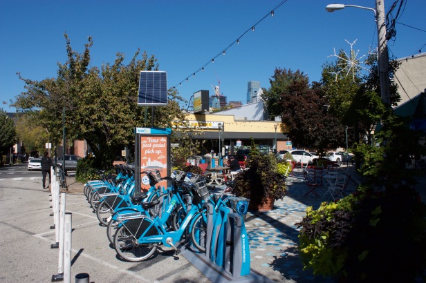
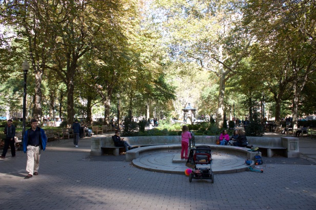
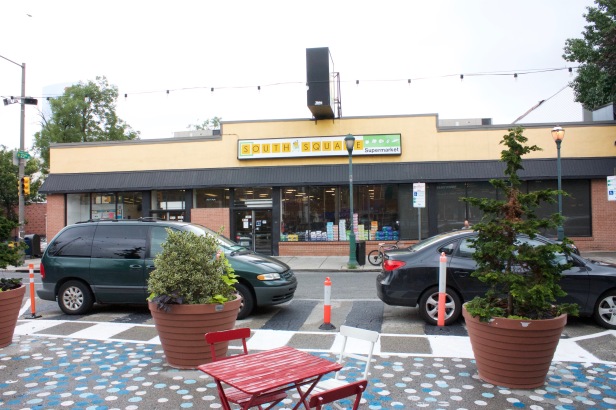
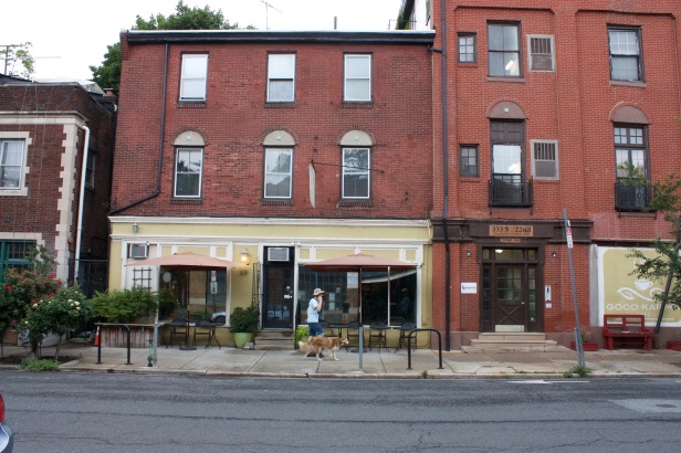

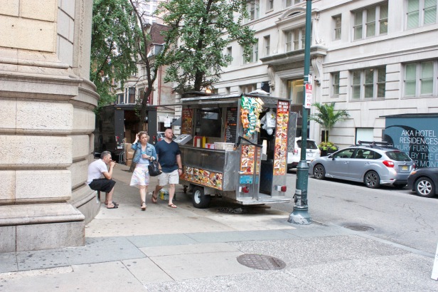
Notice that there are plenty of parks, cafes, restaurants, grocery stores, and other amenities. Also, there are very few or no abandoned houses or plots of land, and most homes are very well kept. There is also a noticeable amount of greenery, whether as street trees, potted plants, or parks.
North-Central Philadelphia
Next, let’s take a look at a neighborhood that is not well off economically. This is in North-Central Philadelphia, just west of Temple University.
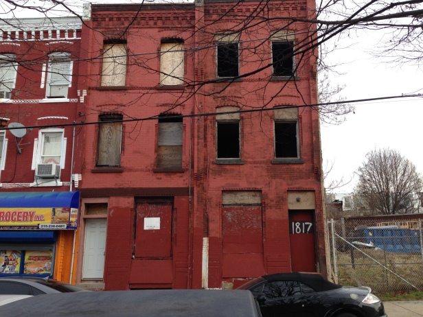
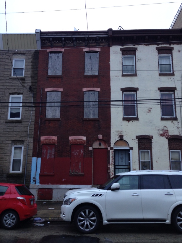
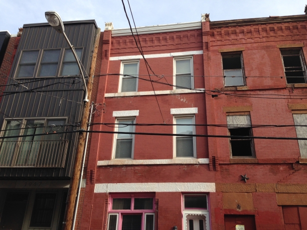
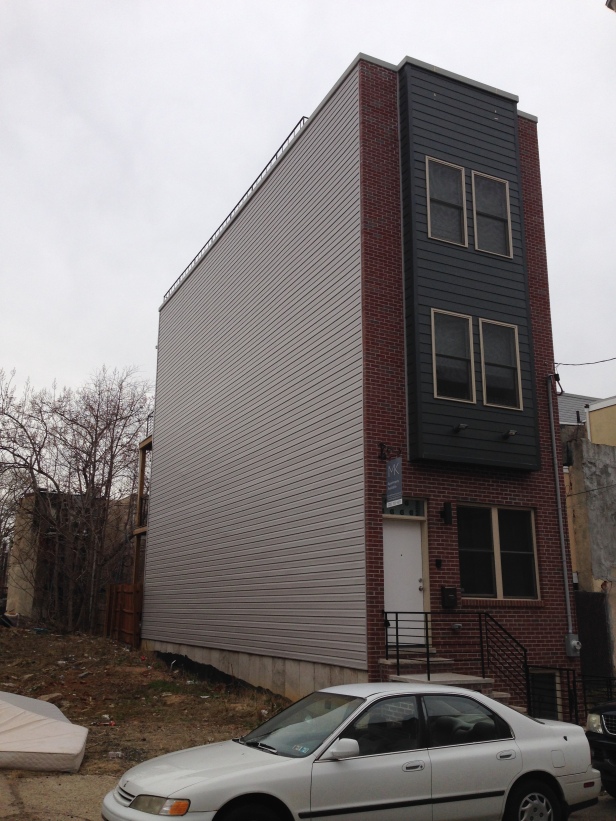
First, I want to point out the large number of abandoned homes and plots, and how those plots of land are used as illegal dumping sites. Also, notice the oddly interwoven new developments, starkly juxtaposed to abandoned homes and lots. These are mostly for students, and their numbers are increasing. This is a contentious issue, though. My overall point is that the neighborhood is very much in flux.
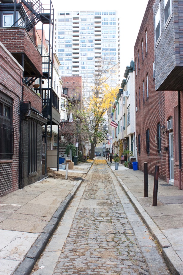
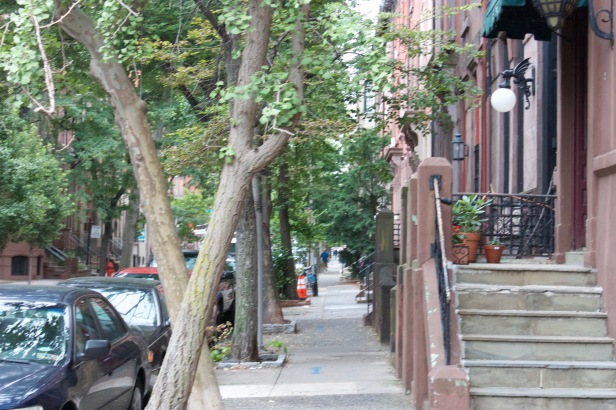
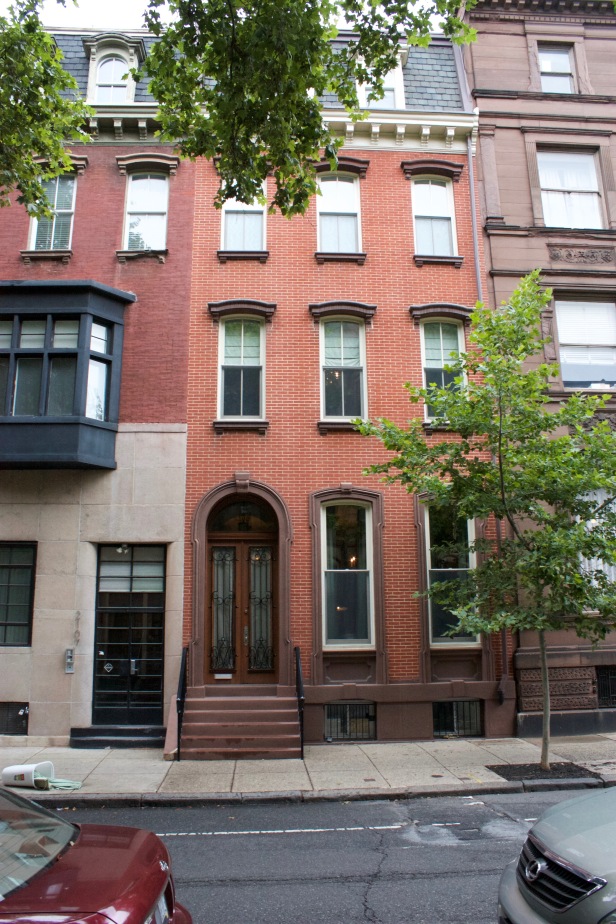
Society Hill
Society hill is a lot like Rittenhouse Square, in that it’s one of the economically best off parts of the city. It also has Washington Square, which is one the four major squares in the city. Unlike Rittenhouse Square, Society Hill also has many of Philadelphia’s historical attractions, and most of the homes are two to three story brick row-homes, built in the old style.


Mantua and Belmont (West Philadelphia)
Mantua and Belmont are in the northeastern section of West Philadelphia, between the river to the east, train tracks to the north, University City to the south, and about Lancaster Avenue to the west. Most of the homes are older, brick row-houses, many of which have been torn down or abandoned. Low incomes in the neighborhood means that many people cannot afford to maintain their homes.
Mantua and Belmont also have a lot of pride. Many residents have been in the area for decades and are actively involved in the community. There are many murals, community centers, and very old churches.


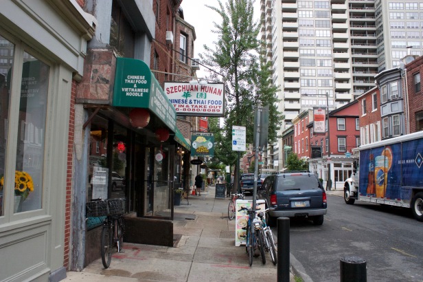
Center City
Center City is the square area roughly from river to river, north of South Street, and south of the Vine Street Expressway. We know from census data that this is by far the wealthiest part of the city, but due to its importance for work and transit, people from the whole Philadelphia region might be in Center City on any given afternoon. City Hall sits smack in the middle, at the intersection of Broad and Market Streets. Most residents live in luxury rentals, although there are some areas with historical row-homes.


Southwest Philadelphia
Southwest Philadelphia is somewhat geographically isolated. It stretches along the western side of Schuylkill River, south of University City and West Philadelphia. Southwest Philadelphia is a bit like Mantua and Belmont, in that it has many abandoned properties coexisting with a strong community of committed residents—though Southwest Philadelphia likely has fewer abandoned homes and a higher homeownership rate.


Spruce Hill/Cedar Park
This is the area just west of University City, south of Market Street, and north of Baltimore Avenue. Spruce Hill and Cedar Park have very high homeownership rates and higher incomes than the surrounding neighborhoods. It feels a bit more spread out and green, and looks almost as if it might be a dense suburb of Philadelphia. Many of the universities’ professors and faculty own homes in this area.


